Archaeologists Discover What May Be World’s Oldest Three-Dimensional Map

Archaeologists Discover What May Be World’s Oldest Three-Dimensional Map

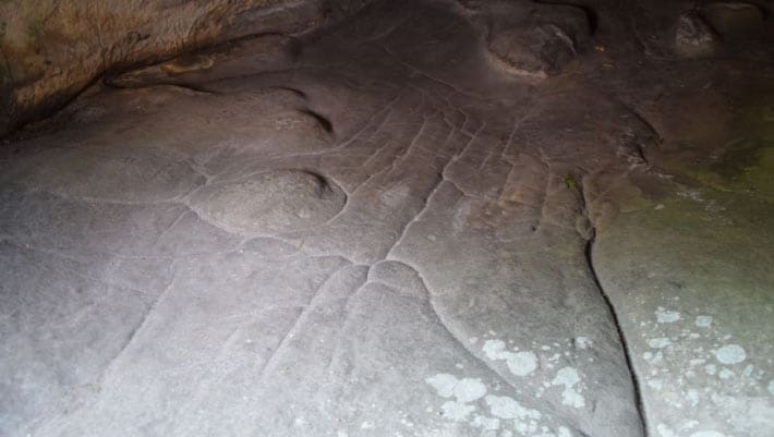
The Paleolithic rock shelter of Ségognole 3 in the Paris Basin contains a miniature representation of the surrounding landscape, says a team of archaeologists from the University of Adelaide and the MINES Paris – PSL.

View of the three-dimensional map on the floor of Ségognole 3 rock shelter. Image credit: Médard Thiry.

Support authors and subscribe to content

This is premium stuff. Subscribe to read the entire article.

Subscribe

Gain access to all our Premium contents.
More than 100+ articles.

Buy Article

Unlock this article and gain permanent access to read it.
Exit mobile version